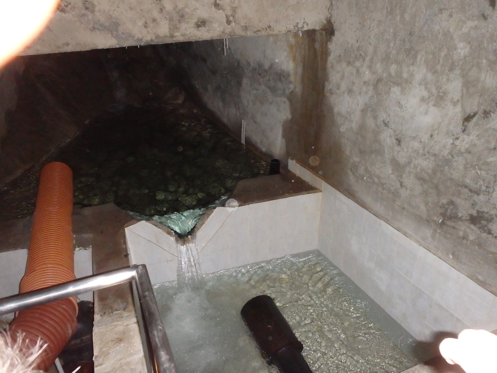
ABSTRACT: Water balance of the closed hydrogeological structure of the Muránska planina karstic plateau as elaborated by Kullman (1980, 1990), describing the period of 1971 – 1980, belongs to the classical masterpieces of Slovak hydrogeology. Its impact on the understanding of groundwater recharge processes in areas formed by karstified rocks is undisputable, and together with another four closed hydrogeological structures (Veľký Choč; Žihľavník – Baske; Harmanec; Krížna nappe in the Pezinské Karpaty Mts.) it served as a milestone and reference point for calculation of effective precipitation values on the Slovak territory. The water balance was based on daily discharge observations of 18 springs and 16 surface streams. During the process of composing of basic hydrogeological map of the Muránska planina Plateau in the scale of 1:50 000, we found that these monitoring points served up to 1985, unless several of them were destroyed and observations on another abandoned afterwards. As proposed also by the reviewer of the hydrogeological map, we made an attempt to extend the water balance evaluation up to the period of 1971 – 1985 to add five years more to the evaluations. New results and problems found after some two decades after the original measurements are described within this paper.
bibliografický odkaz na článok:
Malík, P., Švasta, J. & D. Baroková, 2008: Pokus o rekonštrukciu a rozšírenie hydrologickej bilancie Muránskej planiny na obdobie rokov 1971 – 1985.- Podzemná voda ISSN 1335-1052, XIV, 1/2008, 71-87.

 Slovak Association of Hydrogeologists - who we are and what we do?